
Drones
General
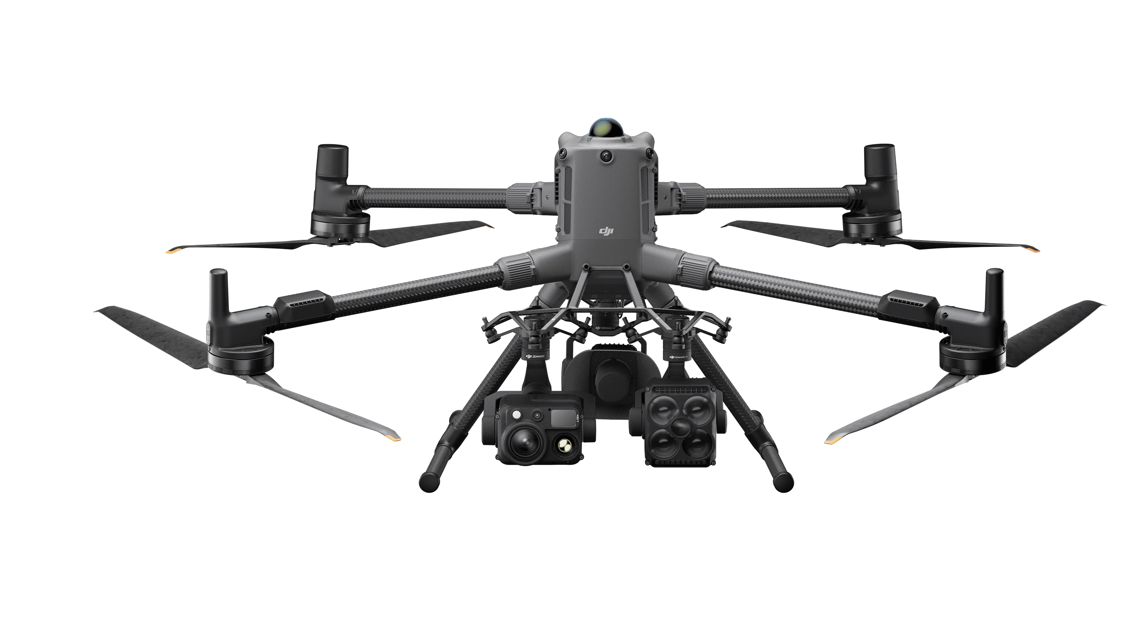
MATRICE 400
In Stock
$20,774.19
Quantity
1
✓ Available
Free Shipping
On all GNSS orders
30-Day Returns
Terms apply
Warranty
Full coverage
Overview
The DJI Matrice 400 RTK is an enterprise drone built for professional surveying, mapping, infrastructure inspection, and other geospatial applications. It combines high-precision RTK positioning, extended flight time, and flexible payload integration to support accurate data collection and efficient field operations.
Product Description
The DJI Matrice 400 RTK is an enterprise drone built for professional surveying, mapping, infrastructure inspection, and other geospatial applications. It combines high-precision RTK positioning, extended flight time, and flexible payload integration to support accurate data collection and efficient field operations.
Product Details
Category: Drones
Subcategory: General
Availability: In Stock
What's in the Box
- DJI Matrice 400 aircraft with propeller holder X 1
- DJI RC Plus 2 Enterprise Enhanced remote controller X 1
- DJI TB100 Intelligent Flight Battery X 1
- DJI BS100 Intelligent Battery Station X 1
- DJI WB37 remote controller battery X 1
- DJI Matrice 400 propeller pairs X 2
- Propeller washers and screws X 6
- Landing gear X 2
- DJI RC Plus 2 strap and bracket kit X 1
- DJI Matrice 400 carrying case X 1
- USB-C to USB-C cable X 1
- Power cable X 1
- DJI Matrice 400 gimbal damper(s)
- Screws and tools set X 1
- Cleaning tools set X 1
- Rubber port covers and screws X 1
Key Features
Battery: TB100 Intelligent Flight Battery
Battery Energy: 977 Wh
Battery Capacity: 20,254 mAh
Battery Standard Voltage: 48.23 V
Battery Cycle Count: 400
Low-Temperature Charging: Self-heating charging supported
Brand: DJI
Model: Matrice 400 RTK